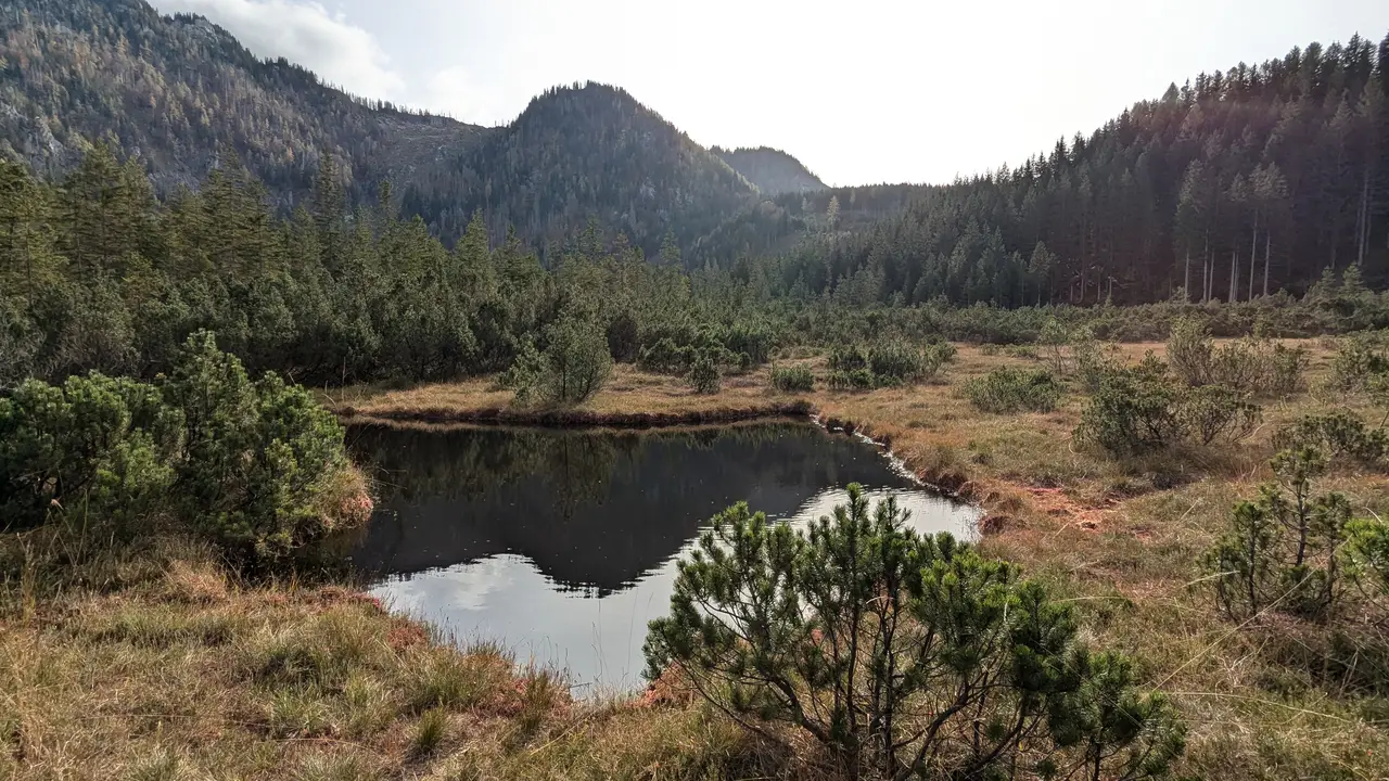
High above Göstling an der Ybbs at an altitude of around 860 metres is a unique natural landscape, the Leckermoor. It is part of the UNESCO World Heritage Site Dürrenstein-Lassingtal Wilderness Area and can be hiked around on a 2.5 km long circuit.
The journey to get there takes some time. Via a narrow, meandering mountain road, past lonely farms and lush, green alpine meadows, I finally reach a car park on the edge of the bog. From there, the route follows the outskirts of the bog. The slightly ascending forest road is also suitable for pushchairs. In winter, the circuit is also ideal for cross-country skiing.
The origins of the bog go back to a flooded area of the nearby Schoberbach stream, but with time the bog gained height, peat layer by peat layer raised the surface and a raised bog was created. Typical of such a bog is that the surface of the bog rises above the rest of the landscape, hence the name raised bog. In addition, the water body of the bog is maintained solely by rainwater. This distinguishes them from marshes, which are fed by groundwater or springs.
The bog is home to a number of extremely rare plant and animal species that have adapted to the peculiarities of the wet area. However, the natural idyll of the Leckermoor was endangered until 2004. A drainage ditch drained the bog and was destroying the natural landscape. In the course of re-naturalisation measures, the ditch was removed, dams were built to stop the water run-off and the number of trees and bushes in the bog was reduced. Raised bogs are characterized by low vegetation, i.e. mainly grasses and mosses. Since then, the bog has been growing steadily again.
I cross a footbridge into the centre of the bog. The mist that still surrounds the surrounding hilltops scatters the sunlight. My gaze wanders over the bog. Magical.

