I created this loop for a short spa holiday in southern Burgenland. The tourist office in Stegersbach offers a number of routes to choose from, but none of them are this long. The basis is formed by two signposted hiking routes: W1 Rundwanderweg Neudauberg and W11 Große Burgau Runde. My creation also partly overlaps with the W7 Kuruzzenwanderweg, which has a number of information boards about the history of the region.
Golfschaukel Stegersbach#
My round begins at the hill, where all the spa hotels in Stegersbach are located. The first section takes me past the manicured fairways of the Golfschaukel Stegersbach ⛳ The golf club, the largest in Austria with 45 holes, has a recent history and is closely linked to the discovery of a thermal spring in Stegersbach.
In the 1980s, OMV (Österreichische Mineralölverwaltung) was looking for productive gas fields in southern Burgenland. Instead of gas, they discovered a large thermal water deposit in Stegersbach at a depth of around 1000 metres. At first, the neighbouring communities couldn’t agree on how to use the spring or which projects they should support 🤔 But in 1996, a building contractor developed a plan that was well received by the community representatives.
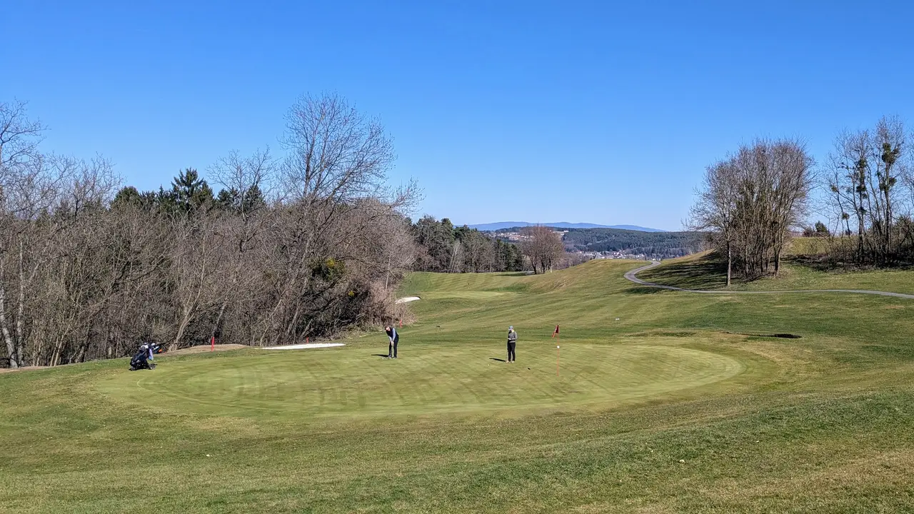
The largest golf resort in Austria is to be built on the slightly hilly landscape around Stegersbach, along the lines of a ski resort, but for golf in the flat Burgenland. A public thermal spa and several thermal spa hotels are to be built in connection with this. After playing a round of golf, players should relax in the hot springs. That was the plan!
The golf resort pays rent to the local landowners in the agricultural region so that they also benefit from the use of the thermal spring and not just foreign investors. Everyone was in agreement and the project was finally realised. The golf resort was opened in 1997 😊
Lafnitz Valley#
A few short climbs and the Lafnitz valley lays to my feet. I soon descend to the Lafnitz near Neudau. The path leads me past fields and a few vineyards. I wonder if Uhudler is also grown here?
Uhudler 🍇 is a local wine speciality of southern Burgenland. They are American hybrid varieties that do not require any grafting. The grapes were introduced after the American phylloxera wiped out almost all of the European wine varieties in Burgenland towards the end of the 19th century.
From now on I follow the Lafnitz and its numerous meanders as far as Burgau. The Lafnitz is the last remaining freely meandering, unregulated lowland river in Austria. It flows leisurely and slowly. Alders and willows grow on its banks. It digs deep into the gravel and occasionally tears up gravel banks to find a new path.
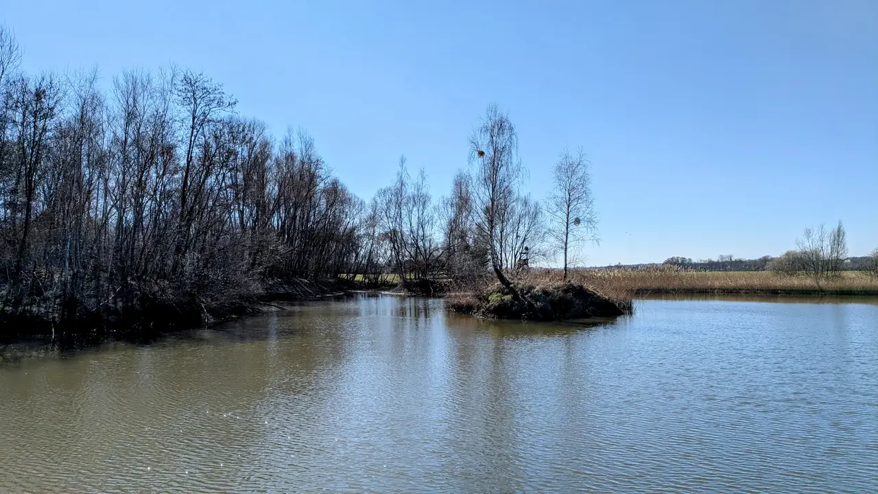
The Lafnitz is not only of great importance for nature conservation, it has also served for centuries as the border between Styria and Burgenland, and before 1918 even as the border between Austria and Hungary.
Easter market#
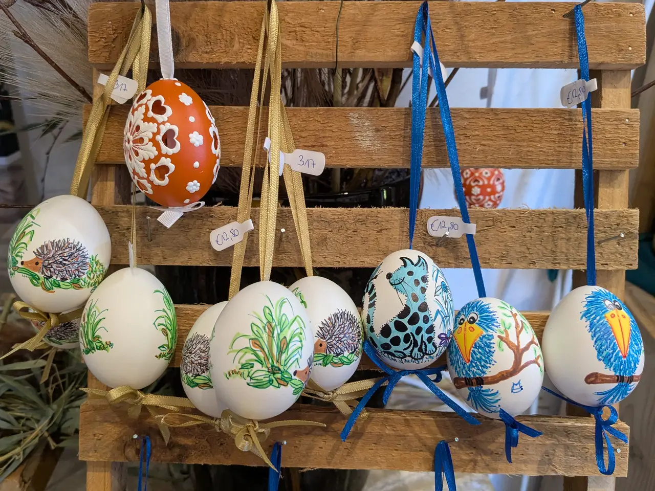
Shortly before Burgau, I leave the Lafnitz and take a short detour into the town. The Burgau moated castle is currently hosting an Easter market. Of course, I don’t want to miss out. Local artisans present their little treasures here. Numerous hand-painted eggs adorn the sales tables.
 />
/>
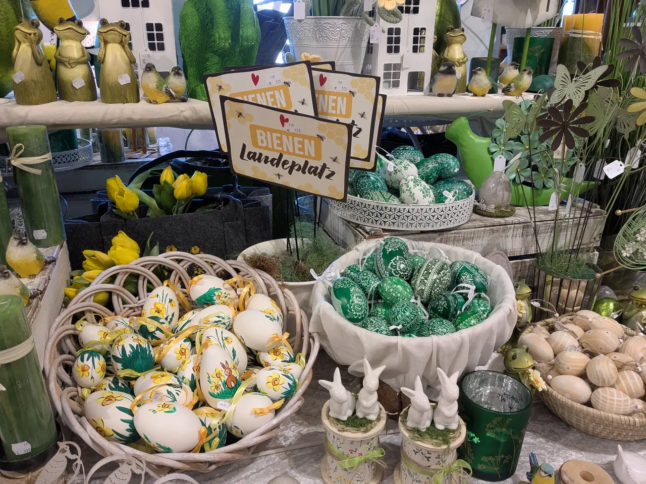 />
/>Unfortunately, I can’t buy anything as I still have to transport the fragile eggs a long way. After all, I’ve only travelled about half the distance. Instead, I marvel at the craftsmanship of the objects on display.
Kuruzzen#
After Burgau, I turn back towards the Lafnitz. Another sight awaits me: a Tschartake. As single-storey towers covered with reeds and a retractable ladder, they used to guard the border between Austria and Hungary. This was also sorely needed, as the region was regularly invaded by Turkish troops and their allies between the 16th and 18th centuries. The shallow bed of the Lafnitz is not a major obstacle.
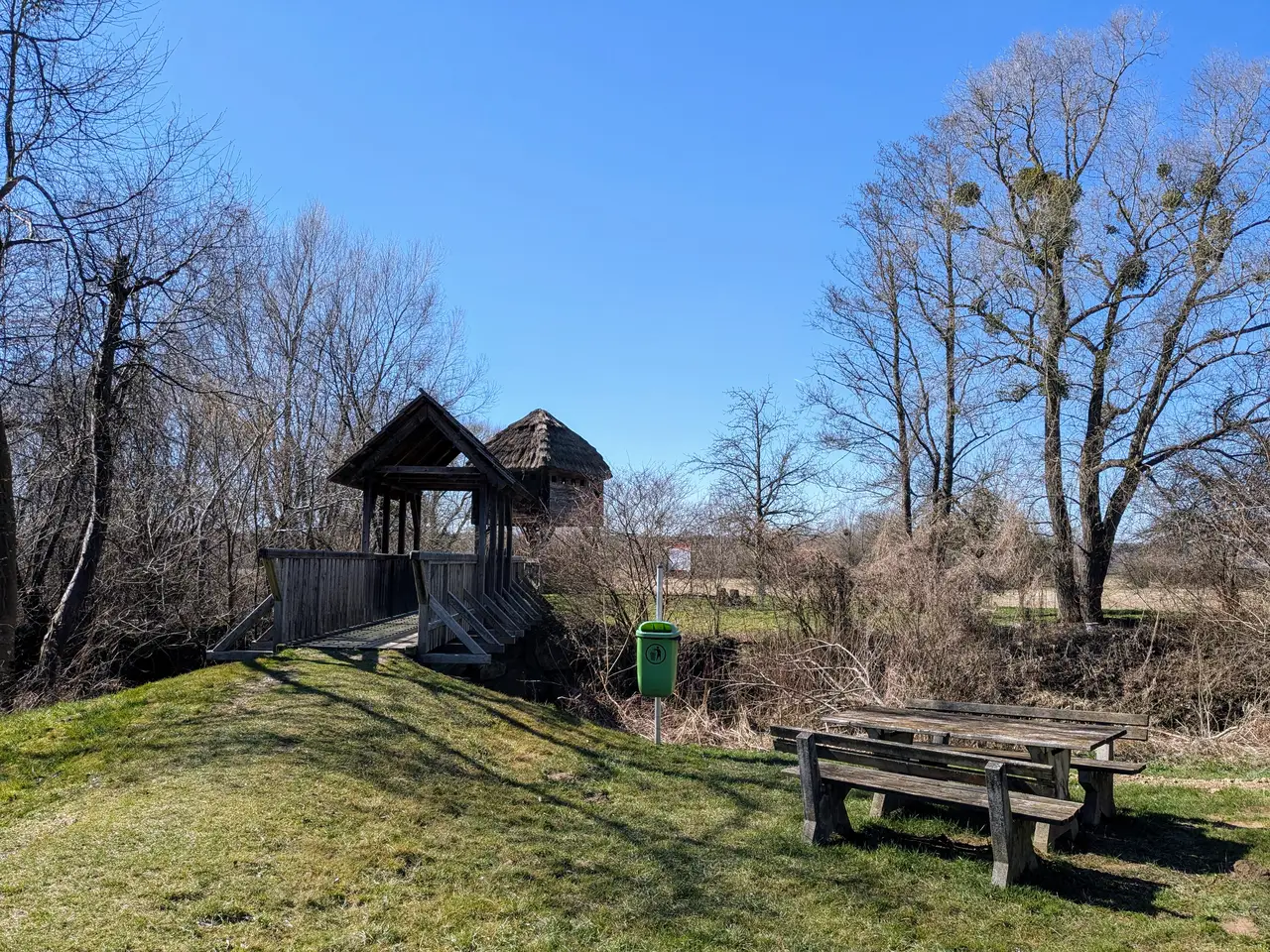
Hostilities peaked in the early 18th century. Hungarian petty nobles, the so-called Kuruzzen, expressed their displeasure with the rule of the Habsburgs. They regularly pillaged villages in the border region and allied themselves with the Turks. Even today, the exclamation “Kruzitürken!” (Kuruzzen and Turks) is used in Austrian slang for expressing anger or astonishment 😠 The uprisings were finally put down by the Habsburg army and the Kuruzzen fled into exile in far-away Transylvania.
Bonfires, so-called Kreitfeuer, were also part of this line of defence. If enemy soldiers approached the Lafnitz, the guards fired warning shots and lit the bonfires to warn the population. They then rushed to the nearby castles, while the soldiers stationed there moved out to ensure the retreat of the guards.
After the Tschartake, I follow the river upstream for a few more kilometres until I turn towards the hills again. The path climbs steeply up to an observation tower from where I have a good view of the Lafnitz valley. There is still some snow on the Alpine mountains to the north. The striking rock of Riegersburg Castle is also clearly visible, right in the centre of the horizon in the picture (perhaps enlarge the picture 😅).
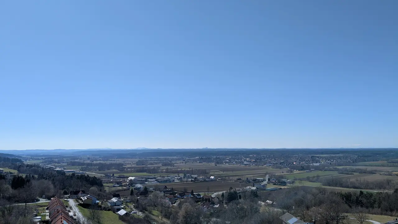
From the tower, the route then leads back over the hills past vineyards and fairways. The tour might be quite attractive in autumn when the deciduous forests and vineyards are in colour. In March, however, I encountered a rather bare landscape. The scenery was therefore not so great. But luckily I already had a warm, sunny day, which is the norm in southern Burgenland.
