The wind picks up. Fine snowflakes patter in my face. Certainly not the perfect day for a run in the snow. But the snow cover is low and compressed by the wind. The surface is grippy and not icy. The conditions for a run in the morning are therefore not too bad. 🥶 And who wouldn’t want to be the first to make fresh tracks in the snow?
Salzsteig#
After exploring the Moorwald south-west of Bad Leonfelden yesterday, this time I follow an old road northwards to the Czech Republic. The border is just 4 kilometres away from Bad Leonfelden.
In the past, this track was an important road, the Linzer Steig. Salt was transported from the salt-rich Alps in Salzburg and the Salzkammergut to Bohemia. Thousands of horse-drawn carts set off from Linz and Mauthausen every year to deliver the valuable preservative to the Bohemian towns. After all, the Bohemian highlands had no salt deposits. The trade in turn brought Bohemian products, the famous glass and beer, poppies and hops, to the Alpine regions. A fruitful trade.
From 1827, trade increasingly moved to rail. The first horse-drawn railway in Austria, the second railway line outside Great Britain, was built between Linz and Budweis. Even today, traces of the railway can still be seen in the landscape, even though trade has long since ceased. The route is lined with trees that mark the road from afar. They acted as windbreaks and shade for the traders in summer.
Watershed#
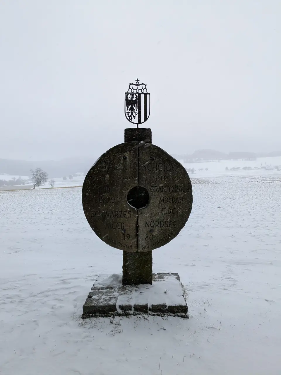
This ribbon stretches as far as the Große Rodl. I cross the stream over a small bridge. I then walk up the gentle slope past a farm and into a short section of woodland. At the top, back out of the forest, a large stone indicates the significance of this inconspicuous hill. This is where the Great European Watershed runs along. Rain that falls south of here flows into the Danube and eventually from the Black Sea into the Mediterranean. And rain that falls to the north flows into the North Sea via the Vltava and Elbe. I’ll allow myself a short break here.
I run slightly downhill. The advantage of the plateau around Bad Leonfelden is definitely the gentle climbs. At a large enclosure, a herd of fallow deer looks at me in bewilderment. They must be wondering what I’m doing out in this weather. Their antlers and fur are covered in snow. They seek shelter under a fallen tree whose bare branches form an oversized antler.
Mühlviertler farmhouses#
There are only a few farms left in this border region. Over three decades ago, you reached the end of the world. You couldn’t go any further north. The Iron Curtain cut the farms off from their northern neighbours in Bohemia. The closely guarded border made it impossible to cross it and the exchange between the regions, which had been closely intertwined in the past, stopped.
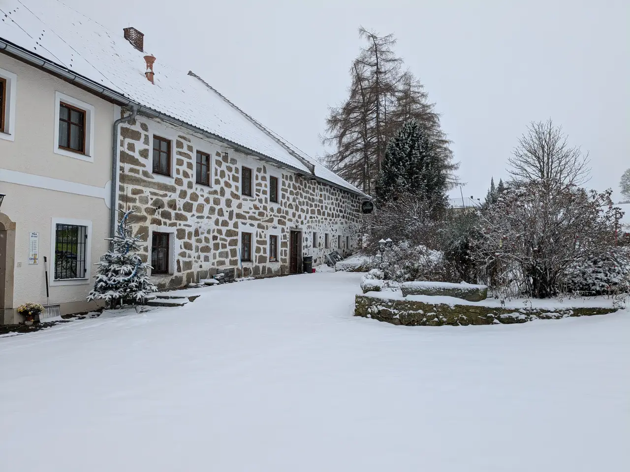
The local farms have the typical building structure of the Mühlviertel. Large, unwieldy granite blocks form their walls. Most farms are open on one side. In the past, there was a large dung heap in the courtyard, which is fortunately missing today.
Border Crossing#
Schwedenschanze#
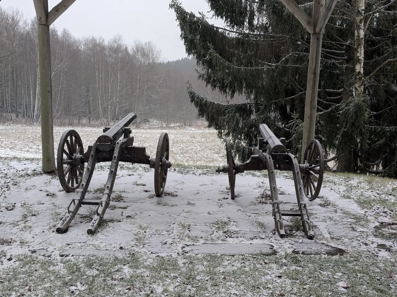
Not far to the border. But another military position awaits me, the Schwedenschanze. It doesn’t date from the last century, but is much older. During the Thirty Years’ War, the imperial troops converted the hill into a position in case the Swedish army, which was supporting the Protestants in Bohemia, used the old salt road to attack Linz. A battle did not take place. The bulwark sufficiently deterred the Swedish army.
Czechia’s southernmost point#
A few old cannons still guard the hollow here, more for illustrative purposes than for actual defence though. The tree line below marks the border with the Czech Republic. It’s just 100 metres to the border crossing, which is less spectacular: a small bridge over a small, nameless stream that flows into the Granitzbach, with two signs for Austria and the Czech Republic.
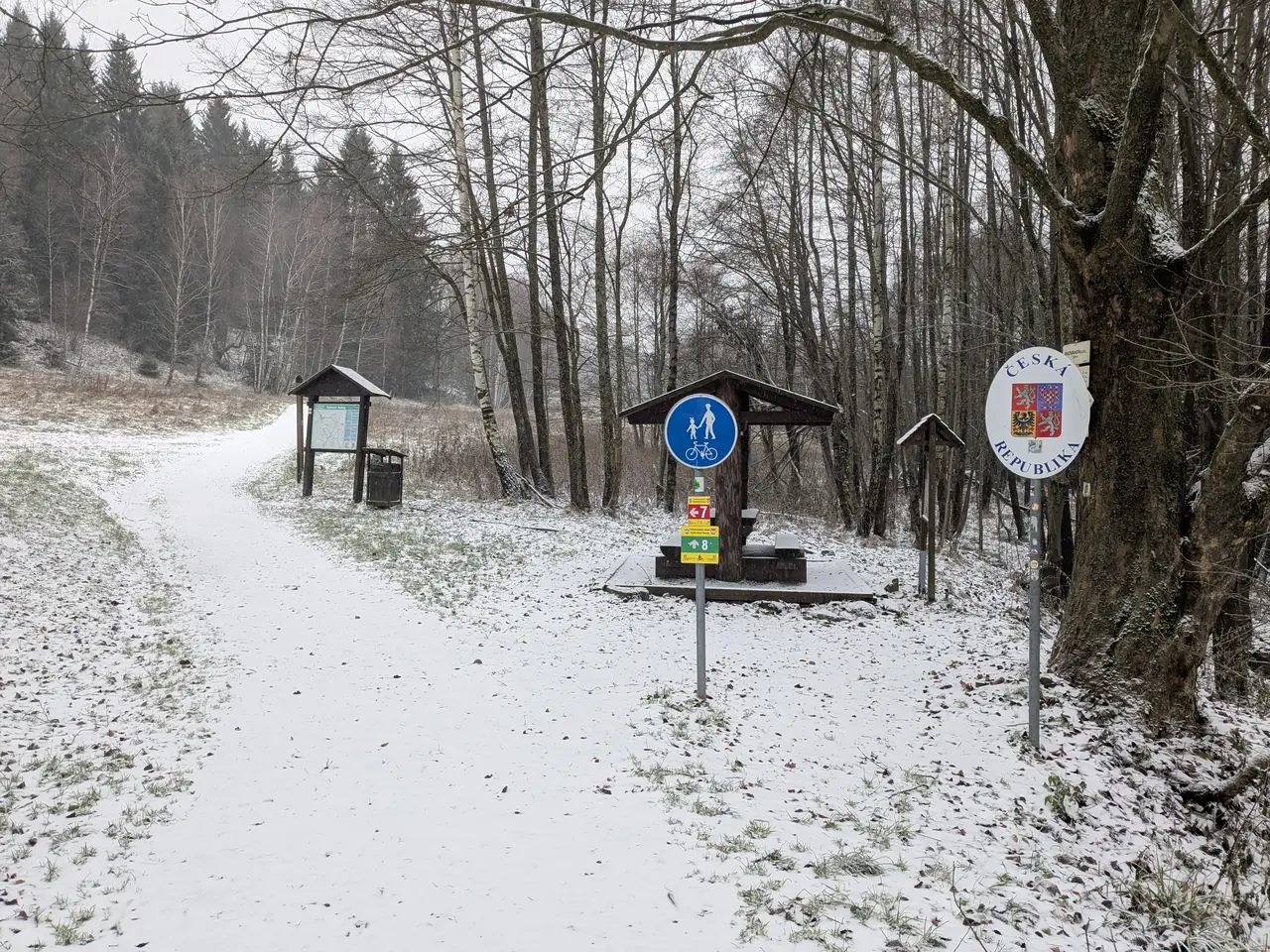
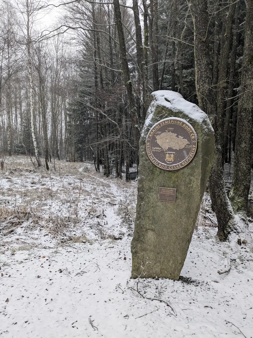
However, a small path branches off in front of it and runs along the border. The border stones are easy to recognize. The path leads to a small, interesting geographical feature, the southernmost point in the Czech Republic. A memorial stone with a plaque erected in 2013 bears witness to this. The border stone next to the Granitzbach stream is the southernmost point in the Czech Republic. The Granitzbach then flows northwards. It forms the border for several kilometres afterwards.
Miesenwald#
I don’t want to go any further into the Czech Republic though. The next larger town, Vyšší Brod or Hohenfurth, is still a long way away. I don’t have enough provisions for a journey like this. So I turn back. But I take a different route this time. At the fish ponds, which I passed on the way to Schwedenschanze, I branch off into the Miesenwald.
Marvellous. The gravel path is frozen and lightly covered with snow. No mud so my shoes stay clean. The branches of the spruce and fir trees are sprinkled with snow. No wind. And as I emerge from the forest, Bad Leonfelden spreads out in the distance. I would have been guaranteed a wonderful view if it wasn’t for the fog and snow flurries.
Now it’s not far back to the cosy, warm accommodation. A few more meadows, fields and roads to cross, and then I can enjoy a hot tea at the bar.
